



Current Conditions

Overcast weather persists statewide, following light freezing rain and snow earlier in the week. Cities like Columbus report 1°F daytime highs, Cleveland at 3°F, and Dayton near -1°F, with wind chills amplifying the freeze. Slick spots linger from recent snow accumulation of up to 10.2 cm on January 6.
Hazardous Weather Breakdown

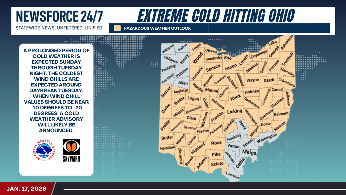
– Extreme Cold Risk: The whole state under high risk for hazardous temperatures starting Sunday, with wind chills potentially below -10°F.
– Snow and Ice: Recent events include 0.8 cm snow on January 16; light freezing rain hit January 15.
– Travel Impacts: Spotty snow showers continue through the weekend, creating slushy roads.
– Health Alerts: Prolonged exposure threatens hypothermia; officials urge limiting outdoor time.
Early Week Forecast

Sunday through Tuesday bring the coldest air, with overcast conditions and highs of -5°F to -8°F on January 18-20. Snow possible Tuesday, January 20, marking one of three expected snowy days left in the month. Conditions ease slightly by January 22 with partly cloudy skies and 1°F highs, though rain returns January 23-24.