


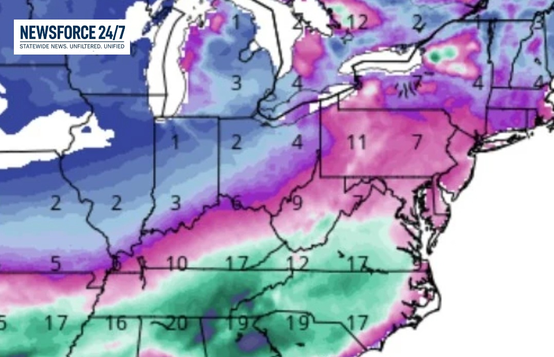

While exact snowfall totals remain subject to change due to forecast model variability, meteorologists indicate that “heavy snow” is possible across many areas. The most significant accumulations are currently projected to occur between Saturday night and Sunday.

Confidence is highest for substantial snowfall in the southern portion of the state, where the National Weather Service has issued Winter Storm Watches for specific counties. However, recent runs of forecast models, including the American GFS, have indicated a Potential northerly shift in the storm’s track. This trend has increased the likelihood of accumulating snow reaching central Ohio, including the Marion area, raising concerns for difficult travel conditions late Saturday into Sunday.
Regardless of the final snow amounts, a blast of arctic air will precede the precipitation. Temperatures are forecast to plunge well into the single digits starting Friday evening. Combined with gusty winds, wind chills are expected to drop to between -5 degrees and -15 degrees from Friday night into Saturday, creating a risk of frostbite and hypothermia for those outdoors.

Forecasters emphasized that the approaching system is complex and its exact track remains uncertain. A path farther north would expand heavier snow totals into central and northern Ohio, while a more southerly track would confine the worst winter weather to the Ohio River Valley, leaving other parts of the state with lighter snow but enduring the extreme cold.
Residents across Ohio are advised to monitor forecasts closely as the weekend approaches and to ensure preparations for winter travel and hazardous cold are in place.