


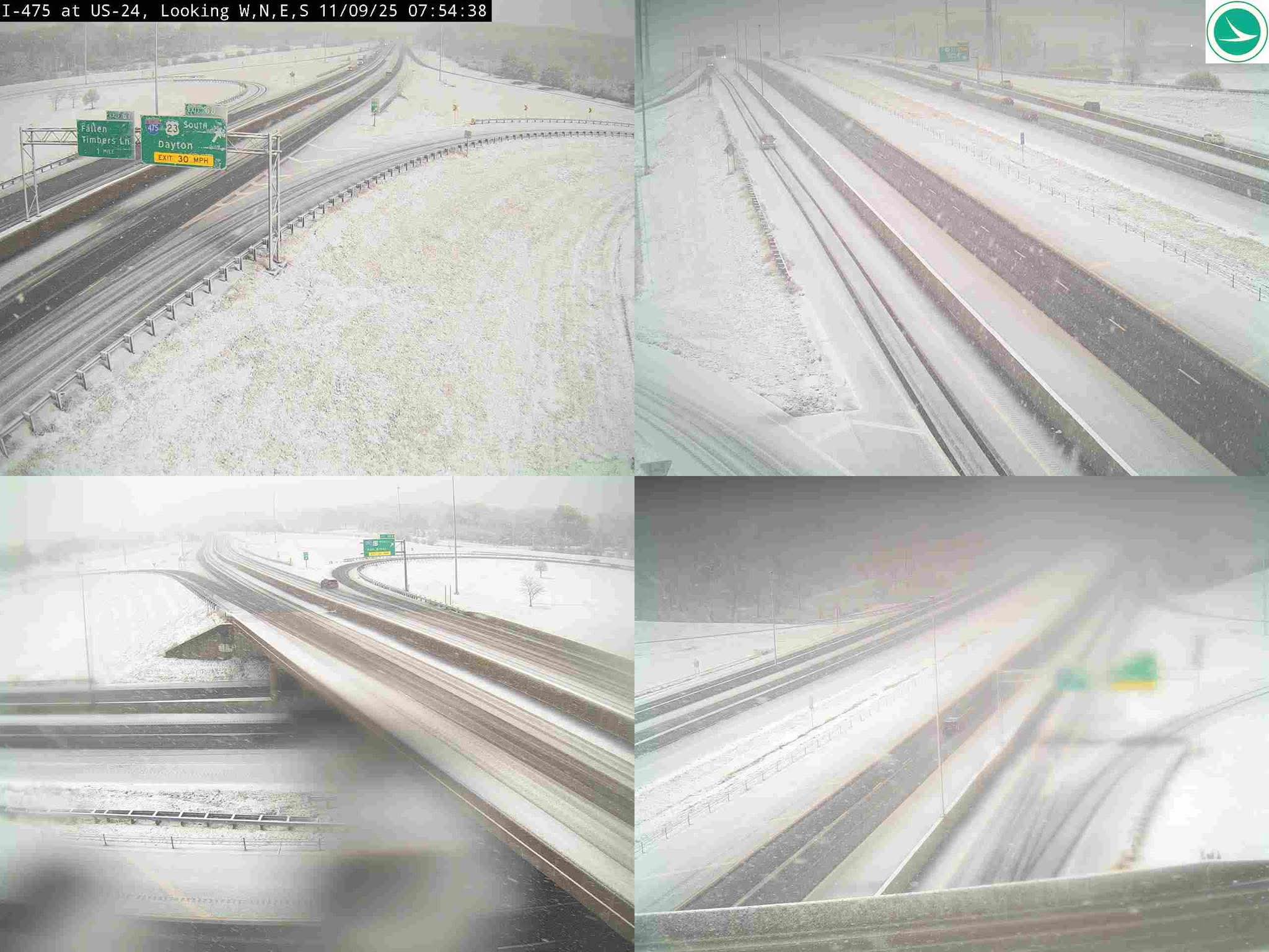
The unseasonably cold pattern is being driven by a low-pressure system moving east, drawing sharply colder air into the Ohio Valley. Forecasters from the National Weather Service (NWS) in Cleveland had issued advisories predicting the change.

Accumulations and Forecast
Reports indicate a mixture of rain and wet snow was present this morning, with precipitation transitioning primarily to snow by this evening. Initial snow accumulations across many Northwest Ohio locations, including the greater Toledo area, are estimated to range between 1 to 3 inches by the end of the night.

* Today (Sunday): Snow showers throughout the day and into the night. Highs are struggling to reach the mid-30s.
* Tonight: Snow showers continue. Lows dropping to around 25°F.
* Tomorrow (Monday): Temperatures will remain frigid, with a high of only 32°F. A chance of lingering snow showers remains, especially in areas closer to the lake.
Preparedness and Travel Advisory

The sudden arrival of winter conditions has prompted quick action from local authorities. Toledo’s Department of Transportation crews, fresh off leaf pickup duties, were reportedly prepared to deploy their full fleet of salt trucks.
“It’s time to prepare for snow,” said a spokesperson from the Toledo Department of Transportation earlier in the week, confirming that all equipment was ready for snow and ice removal.

The NWS has put a Weather Impact Alert Day in effect through Monday, urging residents to exercise caution. Drivers should be prepared for slick road conditions, especially on elevated surfaces like bridges and overpasses, which tend to freeze first.
The forecast indicates a slight reprieve later in the week, with temperatures expected to climb back into the mid-40s by Wednesday. However, this weekend’s snow serves as a strong reminder that the winter season is officially underway.