


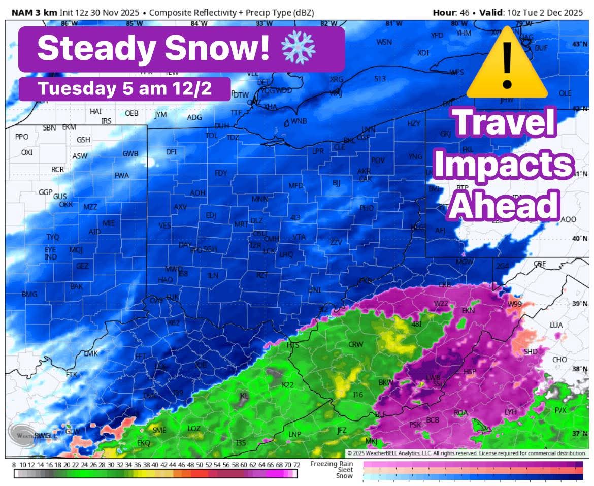
Tuesday will be even colder, with temperatures reaching a high near 33°F. Snow showers will likely continue throughout the day, especially in northern and eastern areas of Ohio. By night, the skies are predicted to become mostly cloudy, with temperatures dropping further to near 21°F. These chilly and snowy conditions warrant taking extra precautions, especially for those traveling or spending significant time outdoors.

The weather pattern at the start of this work week is part of a cooler-than-normal trend for Ohio in late November, which has seen increasing instances of snow showers and below-average temperatures. This aligns with historical November weather trends in the state, which typically experiences its early winter chill with occasional snowfalls averaging a few days in the month. November 2025 has been colder than usual so far, with temperatures generally dipping below seasonal averages in many locations across Ohio.
The forecast underscores the importance of preparing for wintry weather conditions early as Ohio transitions fully into the winter season. Drivers should be alert for potentially icy roads in the mornings and evenings, and residents should dress warmly, layering clothing to guard against the brisk chill. Snow accumulations for Monday and Tuesday should be monitored as they could influence travel and school schedules.

Overall, the start of the week in Ohio is set to reflect classic late fall conditions with cold temperatures and snow showers, signaling a transition toward more winter-like weather to come throughout December. Keeping an eye on local weather advisories will help Ohioans stay safe and comfortable as they navigate the colder days ahead.