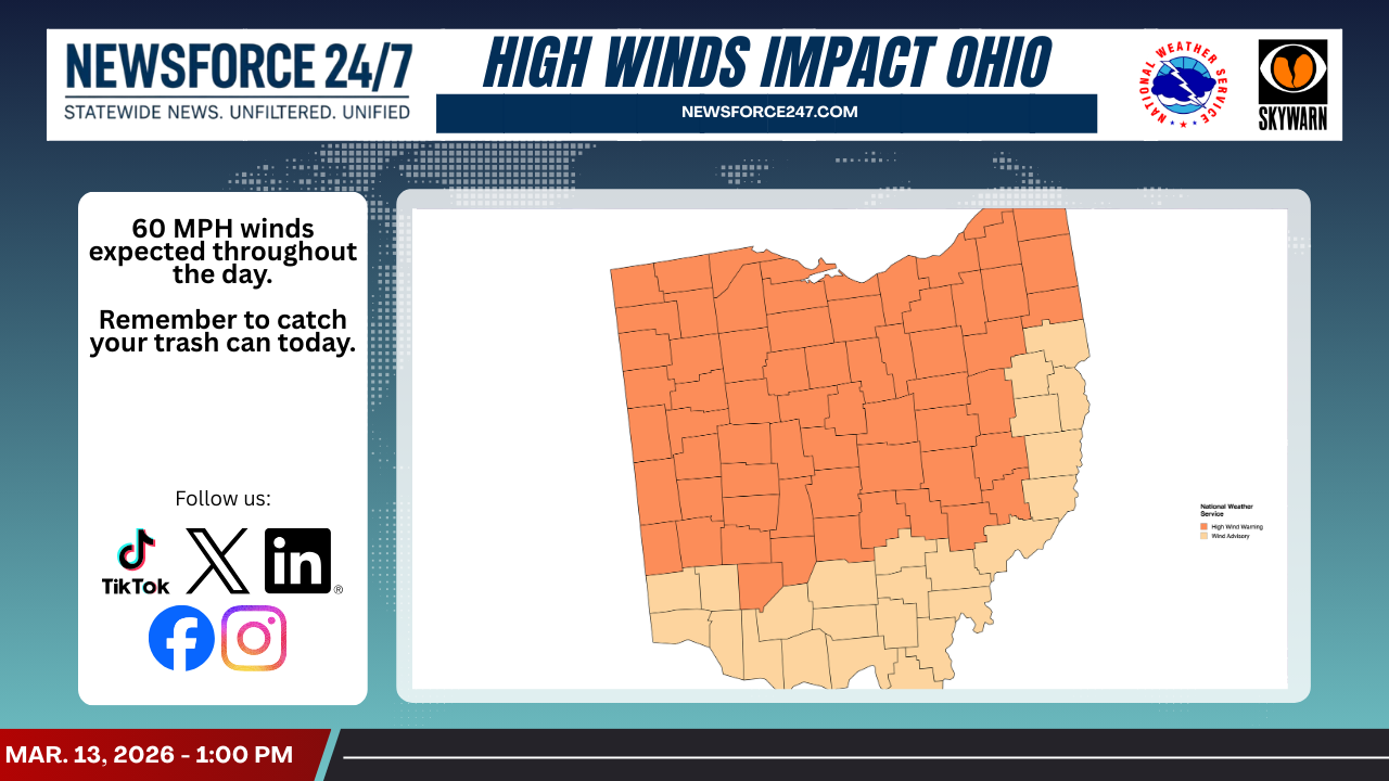
High Wind Warning
The National Weather Service has placed most of Central Ohio, including Franklin and surrounding counties, under a High Wind Warning through 8:00 p.m., with forecasters calling for steady southwesterly winds of 25–35 mph and gusts up to 60 mph. The strongest winds are expected this afternoon and early evening as the storm system intensifies over the state.

Local emergency officials say the combination of sustained winds and stronger gusts could down trees and power lines, leading to scattered to widespread power outages across the region. Residents are urged to secure loose outdoor items such as trash cans, patio furniture, and decorations that could become airborne in the high winds.
Travel may become hazardous at times, particularly for high-profile vehicles such as semitrailers, box trucks, and SUVs on open stretches of highway. Drivers are advised to use extra caution on east–west roadways where crosswinds will be strongest and to be prepared for sudden gusts that can cause vehicles to sway or drift.

Authorities urge precautions
Emergency management agencies and utility providers across Central Ohio say they are preparing for the likelihood of downed lines, blocked roads, and power interruptions as winds increase. Crews are being staged across the region to respond quickly to outages, though restoration times could vary depending on the extent of damage.

Officials remind residents to stay away from downed power lines and to report them immediately to authorities or their electric provider. They also recommend charging phones and other devices in case of power loss and keeping flashlights, batteries, and basic emergency supplies on hand.
With both a High Wind Warning and Tornado Watch in effect, forecasters stress the importance of staying weather-aware through the evening. Residents are encouraged to monitor local forecasts, enable alerts on their mobile devices, and identify a safe interior room on the lowest level of their home in case a warning is issued.