


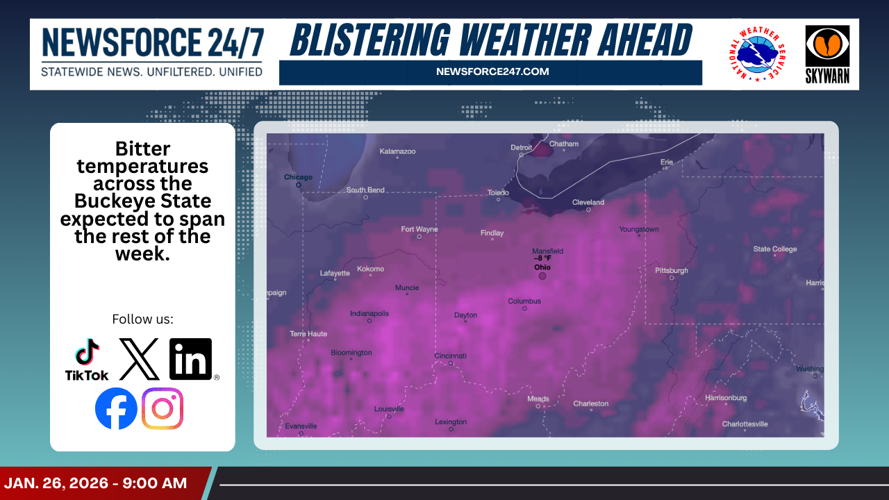

Tonight: Temperatures Drop Sharply

Forecasters say Ohio will spend Monday night locked in the teens and single digits, with some spots north and west likely slipping below zero by daybreak. A thick blanket of clouds and a light breeze around 10 mph will keep wind chills several degrees colder than the actual air temperature, adding to the risk of frostbite for anyone not dressed properly. After the region’s recent winter storm, any lingering slush or wet spots will quickly refreeze, creating slick side streets, sidewalks and rural roads overnight.
Tuesday: Frigid, With Light Snow

On Tuesday, Jan. 27, high temperatures across Ohio are expected to struggle into the teens, with a statewide high near 16 degrees and a low around 9 below zero. Light snow showers are possible, but accumulations should remain minor, and winds will ease back to around 4 mph, limiting blowing and drifting compared to the weekend storm. Even so, forecasters caution that any snow bursts could briefly reduce visibility and further polish already icy surfaces.
Tuesday by region

– Northwest Ohio (Toledo, Findlay): Highs in the low to mid‑teens, lows near or just below zero, with scattered flurries under mostly cloudy skies.
– Northeast Ohio (Cleveland, Akron, Youngstown): Highs in the lower teens, lows several degrees below zero, a chance of light snow or snow showers, especially downwind of Lake Erie.
– Central Ohio (Columbus, Delaware): Highs in the low to mid‑teens, lows near zero to just below, mostly cloudy with a few light snow showers possible.
– Southwest Ohio (Cincinnati, Dayton): Highs in the mid‑teens, lows in the single digits, mostly cloudy with only stray flurries expected.
– Southeast/Ohio River Valley (Athens, Portsmouth): Highs in the mid‑teens, lows in the single digits, clouds dominant with limited snow chances.
Wednesday: Deep Freeze Hangs On

By Wednesday, Jan. 28, Ohio remains in the grip of Arctic air, with many locations topping out near 10 to 12 degrees and nighttime lows falling back into the negative teens in the coldest pockets. Winds will be lighter, near 5 to 10 mph, but that will still be enough to push wind chills well below zero early and late in the day. Skies trend partly to mostly cloudy, with only a small chance for light snow or flurries.
Safety And Travel Concerns
The National Weather Service notes that recent heavy snow left a swath of 6 to 12 inches across parts of the Ohio Valley, meaning many surfaces remain snow‑covered or slushy heading into the coldest nights. With temperatures and wind chills this low, untreated roads, sidewalks and parking lots will stay icy through midweek, and even short trips outside will require layers, hats, gloves and face coverings. Residents are urged to let vehicles warm up outdoors, clear all windows, and keep emergency supplies—blankets, chargers and a small shovel—in their cars in case of delays or stalls in the frigid air.