


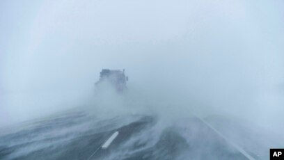

The National Weather Service says a reinforcing polar front will arrive Monday, ushering in a sharp drop in temperatures and dangerously low wind chills across much of Ohio and the Midwest. Forecasters are urging residents to prepare now for a period of extreme cold that could threaten both safety and infrastructure.

Today and Saturday will bring light snow, with accumulations of up to one inch expected — a relatively calm lead-up to what forecasters describe as a “true Arctic plunge.” By Monday night, temperatures are forecast to tumble into the single digits, with wind chills ranging from –15°F to –25°F, cold enough to cause frostbite on exposed skin within minutes.
“This is shaping up to be the most significant cold outbreak of the season,” said a meteorologist at the National Weather Service office in Wilmington, Ohio. “Anyone who has to be outdoors early next week will need to take extra precautions to prevent hypothermia and frostbite.”

Officials are reminding residents to check on vulnerable neighbors, dress in multiple warm layers, limit time outdoors, and ensure pets have adequate shelter. Homeowners are also advised to protect plumbing, as pipes can freeze rapidly under these conditions.
While temperatures are expected to slowly rebound by late week, forecasters caution that another surge of Arctic air could follow by the weekend, continuing a volatile mid-January weather pattern across the region.