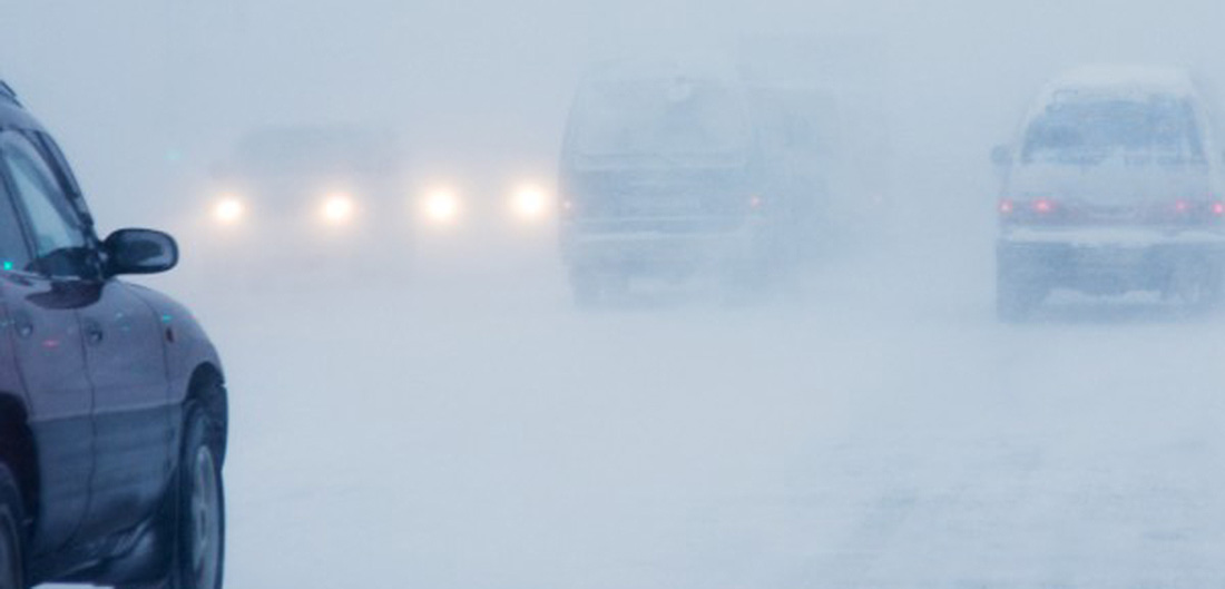

A cold front moving through the region today is set to bring snow showers that will continue through the afternoon, creating brief periods of low visibility and light accumulation on roadways. While snowfall amounts are expected to be modest, drivers are urged to exercise caution as conditions could temporarily reduce visibility to less than a mile.

The wintry weather is accompanied by frigid temperatures that will continue into the night. Cold conditions are expected tonight, with wind chill values dropping to zero to five degrees below zero. The combination of snow and icy winds may lead to hazardous conditions on untreated surfaces, particularly on secondary roads.
Looking ahead to the rest of the week, weather experts warn that the region will continue to experience bitterly cold temperatures, particularly during the overnight hours. Winds will increase, pushing wind chill values to zero to ten degrees below zero by Wednesday night and into Thursday morning. These dangerously cold conditions will persist throughout the weekend, with temperatures remaining well below freezing.

Authorities are advising the public to dress in layers and take precautions when venturing outdoors, particularly during the overnight and early morning hours. With subzero wind chills expected, frostbite and hypothermia can develop quickly in exposed skin, so it is essential to limit time outdoors and ensure that pets and livestock are sheltered from the harsh weather.
For the latest weather updates, residents are encouraged to monitor local forecasts and take steps to stay safe during this prolonged cold snap.